

Northern Guam geospatial information serverVadose zone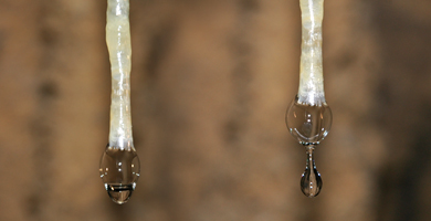
The vadose zone (from Latin for "shallow" and also known as the unsaturated zone) is part of the aquifer that lies between the land surface and the top of the phreatic zone. The upper boundary of the vadose zone is thus the ground level and the lower boundary is the water table, which is the position beneath which groundwater fills all the pores in rock. Factsheet:
|
