Northern Guam geospatial information serverDetailed map of soils (by type)
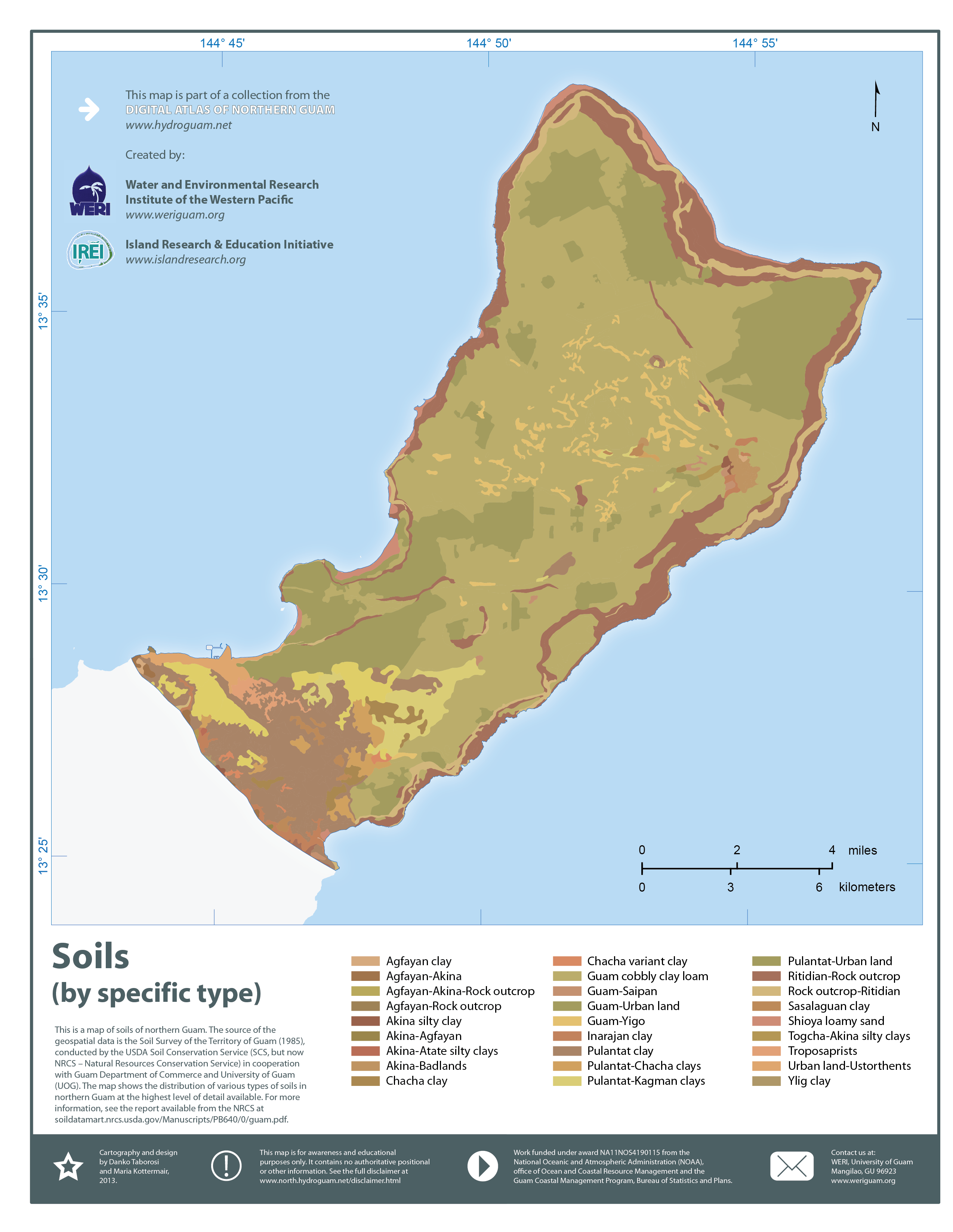
About this map:This is a map of soils of northern Guam. The source of the geospatial data is the Soil Survey of the Territory of Guam (1985), conducted by the USDA Soil Conservation Service (SCS, but now NRCS – Natural Resources Conservation Service) in cooperation with Guam Department of Commerce and University of Guam (UOG). The map shows the distribution of various types of soils in northern Guam at the highest level of detail available. For more information, see the report available from the NRCS at http://soildatamart.nrcs.usda.gov/Manuscripts/PB640/0/guam.pdf. |